Mapping & Surveying Drone Battery Solution

Empowering Precision Mapping

High-endurance, lightweight, and ultra-reliable battery solutions engineered to maximize flight time and payload efficiency for professional aerial mapping, surveying, and 3D modeling missions.

Get Started
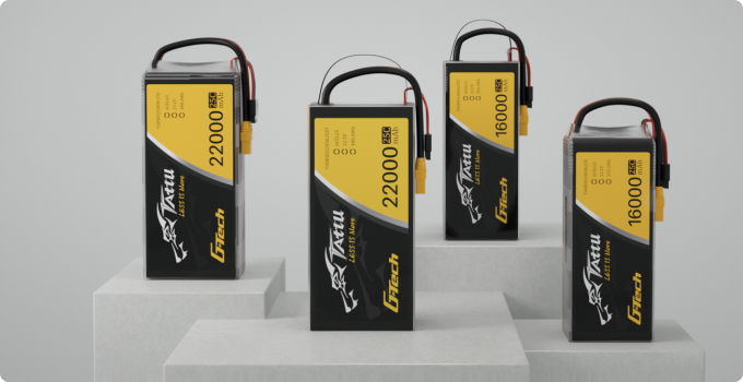
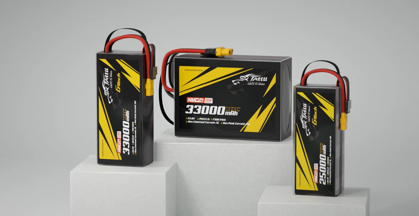
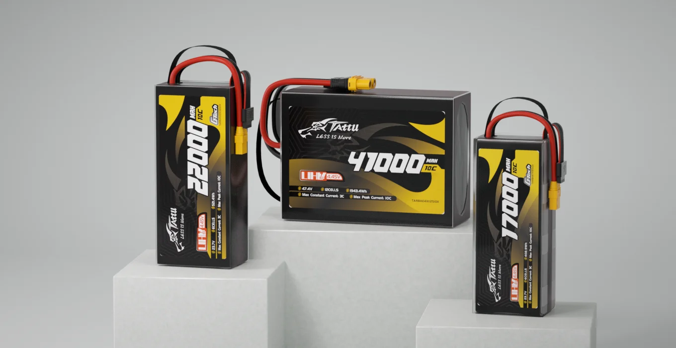
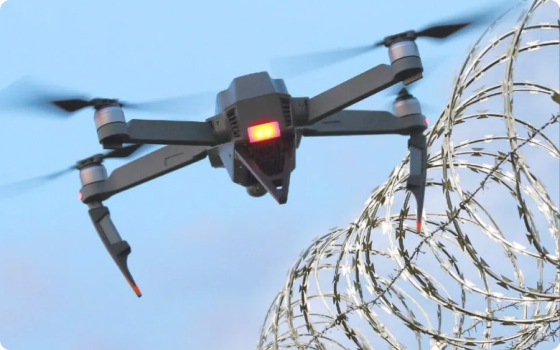
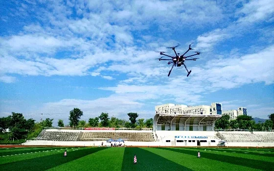
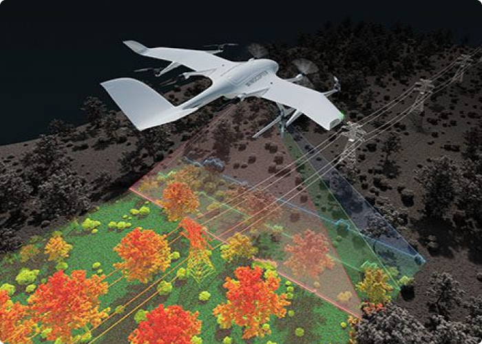
Mapping and surveying missions demand more than flight—they demand precision, consistency, and efficiency in every sortie. From land measurement and construction monitoring to infrastructure inspection and 3D modeling, our advanced UAV battery solutions help operators cover more ground, collect cleaner data, and reduce downtime between flights.

Why Battery Matters for Surveying Drones?

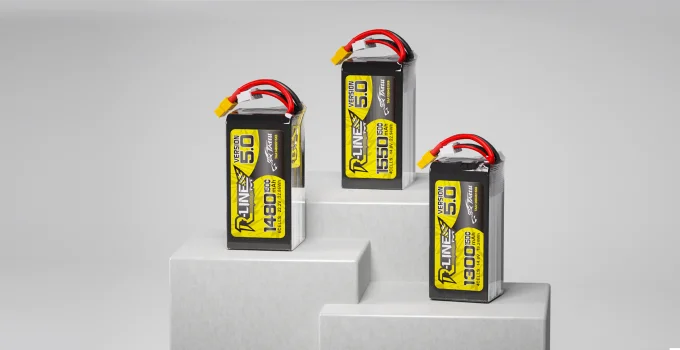
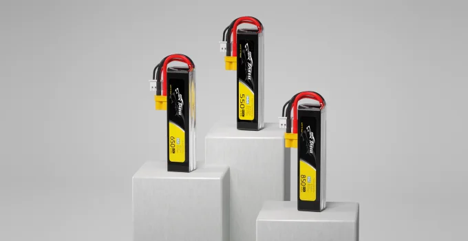
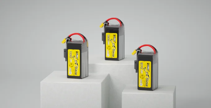
  • Longer Mission Coverage

    High-energy battery systems extend flight time and help UAVs capture larger areas in a single sortie, improving operational efficiency and reducing battery swap frequency.

  • Stable Output for Accurate Data

    Consistent voltage delivery supports stable flight performance and reliable operation of RTK modules, cameras, LiDAR, and onboard electronics—helping ensure clean and repeatable data capture.

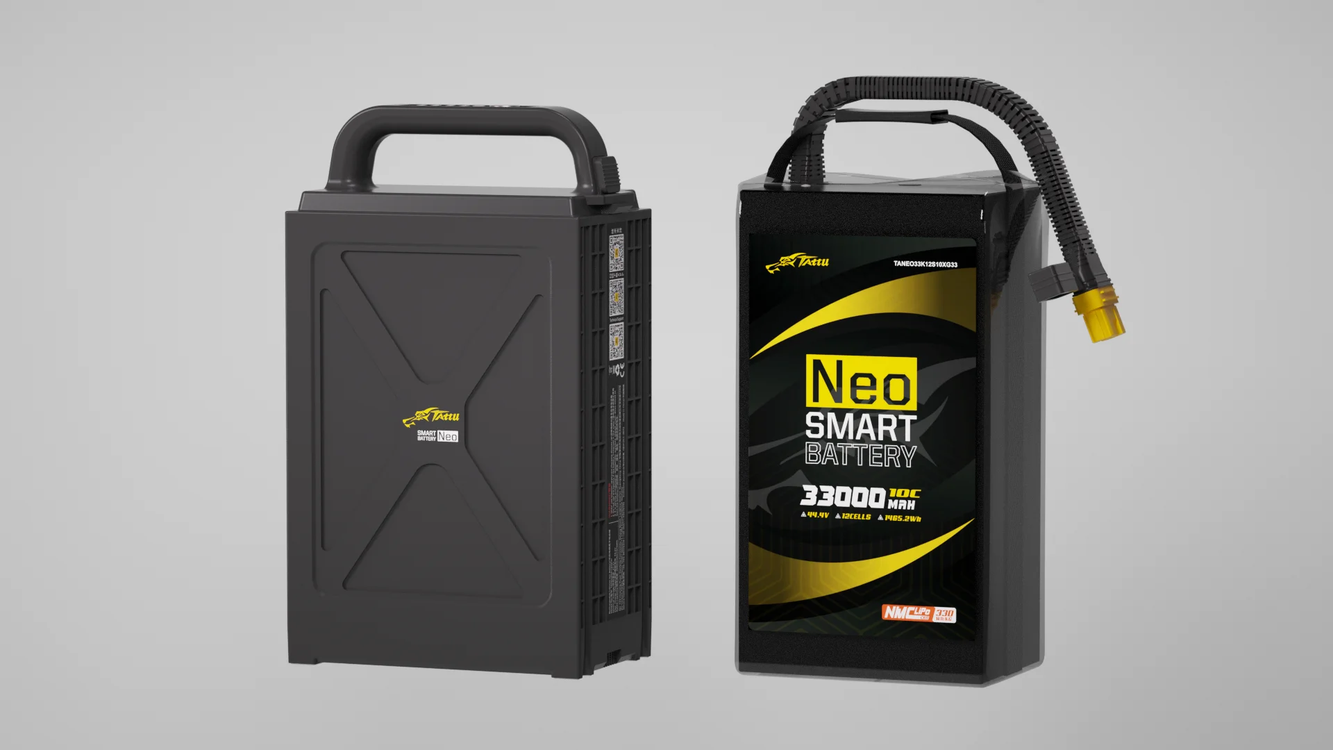
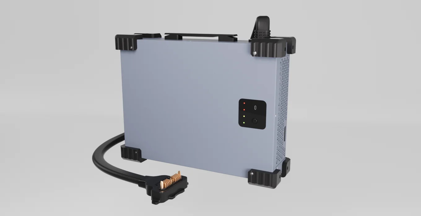
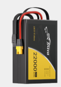
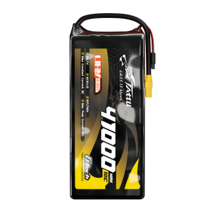
  • Maximized Payload Capacity

    Featuring ultra-lightweight semi-solid-state technology, our batteries allow you to carry heavier, high-precision payloads like LiDAR and multispectral cameras without compromising flight time.

  • All-Weather Reliability

    Built to perform in harsh environments. From high-altitude mountain surveying to freezing temperatures, our batteries maintain optimal discharge performance.

VTOL & Fixed-Wing Mapping

Designed specifically for large-scale surveying and corridor mapping. Our high-energy-density semi-solid-state batteries provide the ultimate endurance required for Fixed-Wing and VTOL platforms. By pushing the boundaries of weight-to-power ratios, we help you cover more ground in a single deployment, reducing operational costs and accelerating data collection.
  • 380 Wh/k

    Industry-leading gravimetric energy density minimizes weight impact on payload capacity and flight d

  • 1.5 H

    Per single charge on standard mapping drones, enabling surveys of up to 1000 hectares per flight.

  • ± 0.5 %

    Precise state-of-charge reporting for reliable return-to-home triggers and accurate mission planning

  • 1000 +

    Exceptional cycle durability lowers per-mission cost and reduces total cost of ownership over fleet

Multi-Rotor / Close Inspection

Perfect for high-precision 3D modeling, urban mapping, and close-proximity infrastructure inspections. Equipped with an intelligent Battery Management System (BMS), these power solutions deliver consistent voltage to sensitive payloads, ensuring vibration-free hovering and eliminating data corruption caused by power fluctuations.
  • 25 C

    Sustains stable high-current output for multi-rotor lift demands without mid-flight voltage drop.

  • 30 %

    Designed to support efficient area coverage and reduce the number of battery changes during repetiti

  • ± 0.1 V

    Active cell balancing during discharge maintains voltage uniformity, protecting cell longevity.

  • - 40-60 °C

    Reliable performance from sub-zero arctic surveys to high-temperature tropical terrain mapping missi

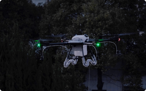
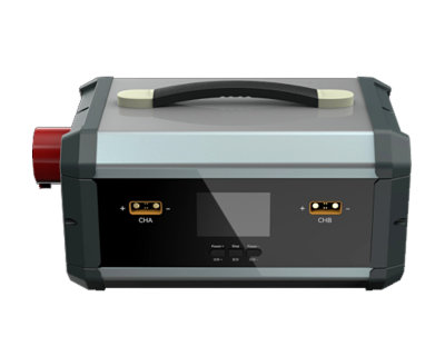
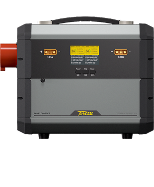
Universal Compatibility for Agricultural UAVs

  • Compatible with mainstream flight controllers.

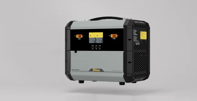
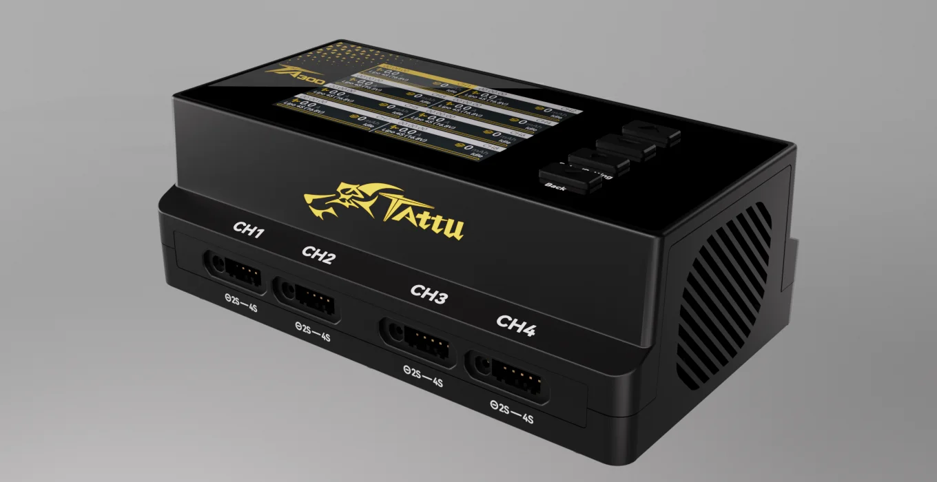
  • Providing all-in-one drone power solutio

User stories

Empowering High-Precision LiDAR Mapping in Rugged Terrains

Discover how our Semi-Solid State Smart Batteries enabled a custom VTOL surveying team to achieve a record-breaking 2.5-hour flight time in high-altitude mountainous regions.

Learn more

Contact Us

For more information about product demo or trial, leave your contact information
inthe form below, You can also reach out to your local dealer for more information.